The Pratt & Whitney Manufacturing Plant Site
We’re still learning about the potential impact on the ecosystem of the site of the Pratt & Whitney plant, but as you can see from the pictures to below, the devastation of the forest on more than the 100 acres of the factory is considerable.
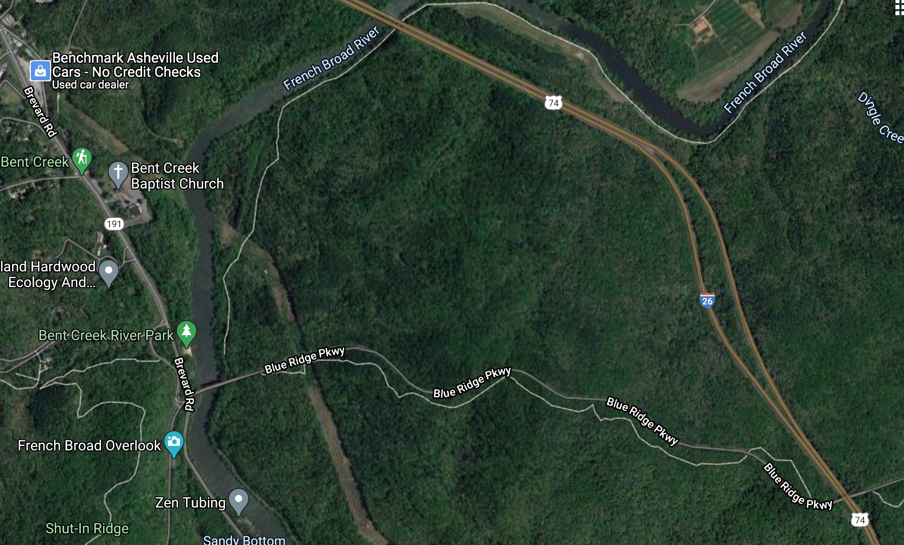
The 1st picture is a Google maps satellite picture of the whole 445 acres prior to the onset of excavation. The acreage is bordered by the French Broad River to the west-northwest, the Blue Ridge Parkway to the south-southwest and Interstate 26 to the east-northeast. As the developers noted, this was “undeveloped” and closed off land. It was, and currently still is, only accessible by the unpaved Old River Road that runs along the river from Biltmore Park. The Pratt & Whitney manufacturing plant is likely to be the first development on the 445 acres, in what an economic development official call “Biltmore West.”
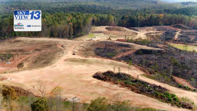
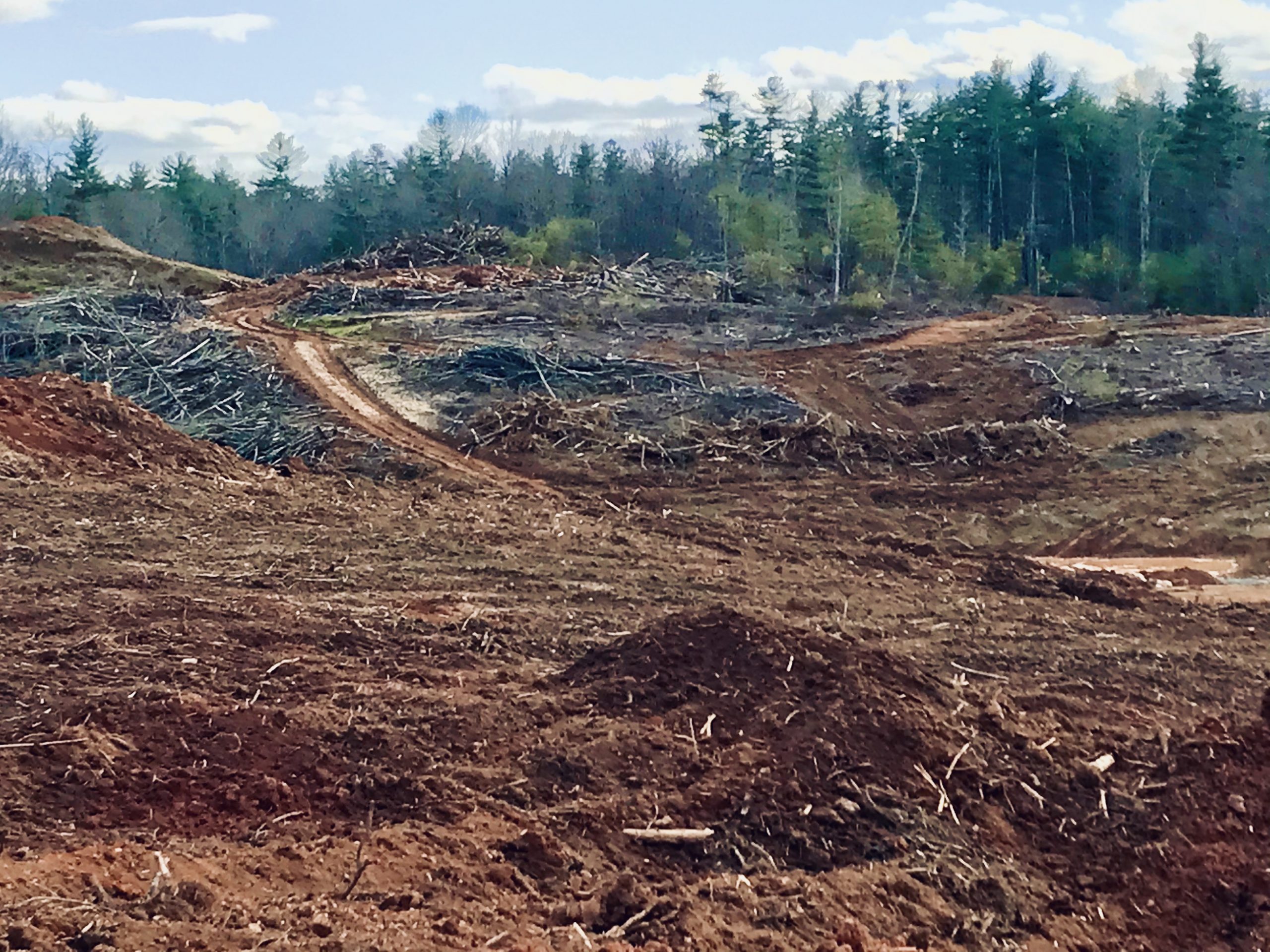
The remainder of the pictures are the factory site in various stages of excavation and from several angles. One can only wonder how many acres of trees were destroyed. Or how many animals lost their habitat.
As far as we know, no environmental impact assessment was done for the actual site of the factory, as it is privately own land.
Erosion and stormwater permits still need to received for the project.

The Bridge over the French Broad River
We do have more information about the environmental impact of the building of the 5-lane bridge across the French Broad River at the intersection of Rt. 191 and entrance to the Blue Ridge Parkway that will be the main access to the factory. In the review of the permit application for the bridge from the Army Corp of Engineers for the bridge, US Fish and Wildlife biologists and NC Department Environmental Quality officials assessed the impact on the river and the wildlife in and along the river. Come back to learn more of the details.